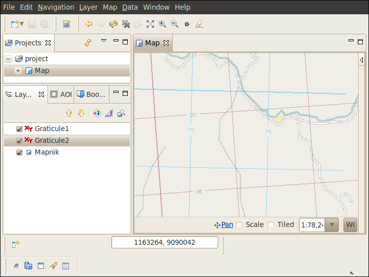
Add multiple Graticules with different CRS
- Adding two Graticules to any map (see Add new Graticule)
- Right click on any Graticule in Layer View
- Left click on Rename and give it a new name
- Right click on any Graticule in Layer View
- Select Change Style... ‣ Projection
- Left click on Select... to open coordinate reference system (CRS) selector dialog
- Choose a CRS with meter as unit on both axis
- Left click Finish
- Repeat steps 2-5 on a Graticule with another name
- Choose a different CRS with meter as unit on both axis
- Left click Finish
You should now see something similar to the example below
Note: Graticule only support CRS with unit “meter” on all axis. Support for degrees is comming soon.
Related tasks